
5 min read ·
Walk Chicago’s Near North Side from the River to the Gold Coast
Understand Chicago’s Near North Side, then follow a half-day walk linking river architecture, Michigan Avenue, Oak Street Beach and the Gold Coast.
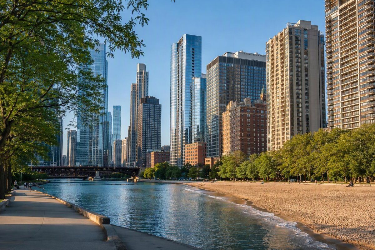
Chicago’s Near North Side is a community area, not another name for River North. It stretches from the Chicago River to North Avenue, with Lake Michigan on the east and the river’s North Branch on the west. River North, Streeterville, the Gold Coast and the southern portion of Old Town sit within that larger area. Old Town also extends north of North Avenue into Lincoln Park. Near North Side overview
For a first visit, build a half-day around the river → Michigan Avenue → Oak Street Beach → Gold Coast residential streets. This gives you changing architecture and a lakefront pause without trying to cover every neighborhood.
Which part fits your plans?
| Area | Choose it for | Planning tradeoff |
|---|---|---|
| River North | River-facing architecture, galleries, dinner and nightlife | A useful evening destination; check the exact street if late-night activity matters to your hotel stay. |
| Streeterville | The Museum of Contemporary Art, Navy Pier and the lakefront | Treat Navy Pier as a deliberate outing, not a quick extra on a northbound walk. |
| Gold Coast | Historic homes, Astor Street and an Oak Street Beach connection | Walk the residential streets for architecture; Rush Street has a different, nightlife-focused character. |
| Old Town | Wells Street dining and a comedy-centered evening | Better as a separate finish than an extra stop squeezed between Michigan Avenue and the lake. |
For more on each area, see Choose Chicago’s guides to River North, Streeterville, Gold Coast and Old Town.
If you’re choosing accommodation rather than a walk, compare the exact hotel address with your route starts—not just its “Near North Side” label. Our first-visit neighborhood guide compares this area with the Loop, West Loop and Lincoln Park.
A connected half-day walking route
Start: Merchandise Mart CTA station. Finish: Clark/Division Red Line station. Budget roughly 3 miles, allowing for the beach excursion and small side trips. Allow about 90 minutes to two hours of walking, or four to five hours with pauses and a meal. These are planning estimates, not a timed tour; a museum or observation-deck visit needs additional time.
1. Merchandise Mart to the Riverwalk
The Merchandise Mart station serves the Brown and Purple lines at 350 N. Wells Street. From the station, walk south on Wells, cross the river and take the stairs down to the Riverwalk on the south bank. Turn east toward Michigan Avenue. To avoid the Riverwalk stairs, keep this segment at street level along Wacker Drive instead.
This short south-bank segment gives you views back toward River North rather than keeping you directly underneath its towers. The Riverwalk runs along Wacker Drive, with street-level access at major intersections. It is outside the Near North Side, but makes a useful opening to the route. Riverwalk location and access
2. Cross the Michigan Avenue bridge, then head north
At Michigan Avenue, return to street level and cross the bridge north. Pause at the Wrigley Building, 400–410 N. Michigan Avenue. Look at the white terra-cotta facade and the bridges linking its two towers before continuing north. Chicago Architecture Center’s Wrigley Building guide
Keep this portion focused on the buildings and streetscape. Shopping can easily turn the walk into a different kind of afternoon.
3. Water Tower, then one optional interior
At Chicago Avenue, stop at the historic Water Tower, 806 N. Michigan Avenue, and look across Michigan at the related pumping station. Both were designed by William Boyington in castellated Gothic Revival style. The tower survived the 1871 fire, but it was not the only surviving building. Water Tower history
Choose at most one ticketed stop here:
- Art: Turn east on Chicago Avenue for the Museum of Contemporary Art, 220 E. Chicago Avenue. As of October 14, 2026, the museum is closed Mondays; use its north-side street-level entrance. Afterward, return west along Pearson Street to Michigan Avenue. MCA visit information
- Skyline: Continue north to 875 N. Michigan Avenue for 360 CHICAGO. Tickets require a reservation time, and the operator says most guests spend 45–60 minutes upstairs; allow extra time for queues. 360 CHICAGO visit information
For a street-level visit only, use our John Hancock building guide.
4. Oak Street Beach
Continue north on Michigan Avenue to Oak Street and use the pedestrian underpass to reach the beach. Do not attempt to cross DuSable Lake Shore Drive at road level. Oak Street Beach offers a skyline view and an accessible beach walk to the shoreline. Park District beach and access information
Make this a pause rather than automatically adding a long Lakefront Trail extension. As of October 14, 2026, the swim season has ended and swimming is prohibited. A Park District trail-maintenance notice, posted September 15, 2026, also advises visitors to follow construction signage and avoid active work zones. Current beach and lakefront notices
5. Gold Coast streets to the Red Line
Return through the underpass. Walk west on Oak Street to State Street, then north to Division Street. Turn east on Division to Astor Street, then north on Astor to Schiller Street. Astor begins at Division—not at Bellevue Place—and this leg takes you into the landmark district. Its 19th-century houses in historical revival styles sit among later apartment buildings and townhouses. City of Chicago’s Astor Street District guide
Turn west on Schiller to LaSalle Street, then south to Division. You’ll reach the accessible entrance to Clark/Division station at LaSalle and Division, one block west of the Clark Street entrance. For the Loop, board a southbound Red Line train marked 95th/Dan Ryan, getting off at Lake, Monroe or Jackson according to your destination. Station entrances · Red Line route
When to change the route
Only two hours? Start at the Michigan Avenue bridge, skip the interiors and finish at Oak Street Beach. For a train return, walk west along Oak to State, then south to the Chicago Red Line station at Chicago Avenue.
Navy Pier is the priority? Make Streeterville your main outing instead. The pier is at 600 E. Grand Avenue and stretches more than six city blocks; walking out and back is a substantial addition before any attraction visit. Navy Pier location and visitor information
Want more lakefront instead of residential architecture? Use our one-way downtown and lakefront route to plan a waterfront-focused outing instead.